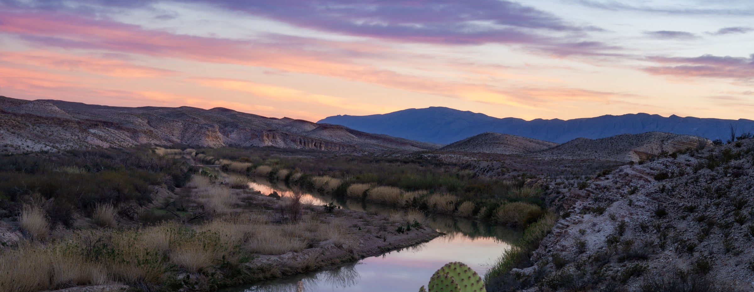
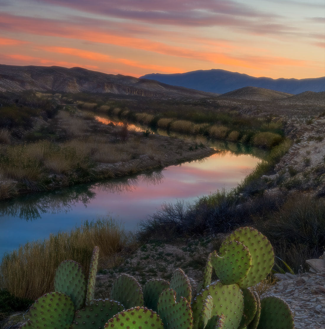
Hiking in Big Bend: Best Hikes in Big Bend National Park

Hiking at Big Bend National Park: Trails, Distances, and Tips

Big Bend holds more than 150 miles of trails, and they run the full range: quarter-mile paved loops, half-day desert walks, and mountain climbs that take a solid day. Picking the right one matters more here than in most parks, mostly because the drives between trailheads are long.

Here's our rundown of the best hikes in Big Bend National Park, with distances and difficulty ratings straight from the National Park Service, plus what you should know before you head out.

What to Know Before Your First Big Bend Hike

A few park rules and realities catch first-timers off guard. Worth knowing before you go.

  • No permit is required for a standard day hike. Every vehicle entering the park does need an entrance pass, sold at entrance stations and visitor centers. The park does not take cash; cards only.
  • Hiking groups over 30 people and backpacking groups over 15 need a Special Use Permit from the park.
  • Pets are not allowed on any trail in Big Bend National Park. This one surprises a lot of guests.
  • Carry plenty of water. There is no water on most trails, and cell service across the park is patchy at best.
  • Trail and road conditions shift after storms. Check the park's alerts page the morning you go.

Big Bend National Park's Maverick Junction entrance is only a 15- 20-minute drive from The Summit at Big Bend

big bend caves

Guided Hikes and Tours in Big Bend

Big Bend's trails are walkable on your own, though a local guide will tell you things no trail sign will. Two operators work the Terlingua area, and both run their own trips independently of The Summit at Big Bend.

Big Bend Boating & Hiking Company

Guided hikes across Big Bend National Park and Big Bend Ranch State Park, plus river trips. Guides are wilderness first aid certified.

Get Lost Tours

Private, personalized desert tours around Terlingua and the park, mixing off-road driving, sightseeing, and shorter hikes.

Official Park Trail Maps and Current Conditions

Trail closures, road washouts, and creek levels change through the year. The National Park Service posts all of it, and it is the only source we point guests to for day-of planning.

Big Bend National Park Trail Maps

Day Hikes at Big Bend National Park

Current Alerts and Conditions

Best Hikes in the Chisos Basin and Chisos Mountains

The Chisos Basin sits high enough that the whole feel of the park shifts. Pine, oak, and juniper instead of creosote and cactus. Most of the park's signature hikes start from the Chisos Basin Trailhead, and parking there fills early on busy weekends.

Window View Trail

  • Distance: 0.3 mile round trip
  • Difficulty: Easy

A paved, wheelchair accessible loop right by the Chisos Basin Trailhead. It circles a low hill with views of the peaks around the basin and a look straight through the Window itself. Benches along the way make it a favorite sunset spot, and you can do it in ten minutes.

Chisos Basin Loop Trail

  • Distance: 2 miles round trip
  • Difficulty: Moderate

A gradual climb through shady pine, oak, and juniper with repeated views of the Window and the surrounding peaks. Mexican jays are everywhere in the pines. Bears and mountain lions cross this trail, so you may spot tracks. Going counterclockwise is the easier direction.

Lost Mine Trail

  • Distance: 4.8 miles round trip
  • Difficulty: Moderate

Probably the best introduction to the Chisos Mountains, and a must-do if your time in the park is short. The first mile climbs to a saddle with views of Casa Grande and Juniper Canyon, and plenty of people turn around right there. Push on and the trail levels at a ridge looking over Pine Canyon and the Sierra del Carmen in Mexico. The trailhead is at mile 5.1 on Basin Road, and parking is limited, so arrive early.

The Window Trail

  • Distance: 5.6 miles round trip
  • Difficulty: Moderate

This one descends through Oak Creek Canyon to the Window pour-off, where the rock walls frame the desert below. In wetter stretches of the year, Oak Creek runs, and you will cross it several times. Two things to keep in mind: the top of the pour-off is slick rock with no railings, and the return leg is all uphill.

Emory Peak

  • Distance: 10 miles round trip
  • Difficulty: Strenuous

The highest point in the park at 7,832 feet. Take the Pinnacles Trail 3.5 miles to the Emory Peak junction, then a 1.5-mile spur to the summit. The last quarter mile climbs steeply, and the final 25 feet require scrambling up an exposed rock face. The 360-degree view at the top is worth every step.

South Rim

  • Distance: 12 to 14.5 miles round trip
  • Difficulty: Strenuous

A full day and about 2,000 feet of climbing, with the payoff being one of the great views in Texas. You can go up the steeper Pinnacles Trail or the more gradual Laguna Meadows Trail. During peregrine falcon nesting season, the northeast and southeast portions of the trail close, so check with the park first.

Desert Hikes Along Ross Maxwell Scenic Drive

Down off the mountain, the Chihuahuan Desert covers roughly 80 percent of the park. These trails run shorter and flatter, though shade is scarce and you will want extra water in the pack.

Mule Ears Spring Trail

  • Distance: 3.8 miles round trip
  • Difficulty: Moderate

A rocky desert walk from the Mule Ears Overlook parking area at mile 15 on Ross Maxwell Scenic Drive. The trail skirts Trap Mountain, crosses several arroyos, and ends near an old rock corral by the spring, with the Mule Ears rock formation in view along the way. One of the quieter trails in the park.

Chimneys Trail

  • Distance: 4.8 miles round trip
  • Difficulty: Moderate

A flat desert hike out to a line of volcanic dike formations, starting at mile 13 on Ross Maxwell Scenic Drive. The chimneys sit 2.4 miles out, and you can see them from the trailhead the whole way. Rock art marks the base of the formations. Rated moderate because of distance, not terrain.

Grapevine Hills Trail (Balanced Rock)

  • Distance: 2.2 miles round trip
  • Difficulty: Moderate

The trail to Big Bend's famous Balanced Rock. It follows a gravel wash, then climbs steeply through boulders for the last quarter mile over rough bedrock. Watch for the directional arrows and take your time on the way back down.

One important note: the trailhead sits 6 miles down the Grapevine Hills dirt road, which requires a sturdy high-clearance vehicle. The National Park Service advises against attempting it in a passenger car, minivan, or RV.

Sotol Vista Overlook

  • Distance: Not a hike (drive-up overlook)
  • Difficulty: Easy (drive-up)

One of the most stunning roadside viewpoints in Big Bend, Sotol Vista offers panoramic views of the Chihuahuan Desert. This spot is breathtaking at sunrise or sunset, when the colors of the desert come alive. A perfect stop for those wanting a quick, awe-inspiring view without a hike.

River Hikes Along the Rio Grande

The Rio Grande carves the southern edge of the park, and the trails down there feel completely different from the Chisos. Cottonwoods, birdlife, canyon walls. Several are short enough to pair two or three in a morning.

Santa Elena Canyon Trail

  • Distance: 1.7 miles round trip
  • Difficulty: Moderate

A Big Bend classic at the end of Ross Maxwell Scenic Drive. The trail crosses the bed of Terlingua Creek, climbs a steep sandy bank, then ascends paved steps to a vista before dropping back to the water and continuing into the canyon.

The creek crossing is the catch. Depending on recent rain, Terlingua Creek may be dry sand, thick mud, or flowing water, and the trail is impassable when it floods. Check conditions with a ranger, and if the water is high, do not attempt the crossing.

Hot Springs Historic Trail

  • Distance: 1 mile round trip
  • Difficulty: Easy

An easy walk past the remains of an old resort, pictographs, and a homestead, with trailside exhibits along the way. The 105 degree springs themselves are only a half mile round trip from the parking lot. Keep going and the trail forks toward bluff-top views and an easy loop back. The spring floods when river levels rise.

Boquillas Canyon Trail

  • Distance: 1.4 miles round trip
  • Difficulty: Moderate

A short climb from the parking area to a bluff over the Rio Grande, where you can still see mortar holes left by the people who lived here long before the park existed. The trail then drops to the river's edge and runs into the canyon until the walls meet the water.

Rio Grande Village Nature Trail

  • Distance: 0.75 mile loop
  • Difficulty: Easy

Short, easy, and one of the best birding walks in the park. It starts at site 18 in the Rio Grande Village Campground. The first 100 yards are wheelchair accessible over a boardwalk through a spring-fed wetland, then the trail climbs a limestone hill with views of the Rio Grande and the Chisos and Del Carmen Mountains. Excellent at sunset.

Hiking at Big Bend Ranch State Park

Plenty of visitors never realize there is a second Big Bend park next door. Big Bend Ranch State Park has 238 miles of multiuse trails, and it sits on the other side of The Summit at Big Bend from the national park.

Closed Canyon Trail is the easiest place to start. It is roughly 1.4 miles round trip, running into a narrow slot canyon off FM 170 between the Barton Warnock Visitor Center and Fort Leaton State Historic Site. There are a few rock drops to scramble down. It is also one of only two pet-accessible trails in the state park, with leashes limited to six feet.

The drive there along FM 170 is worth the trip on its own. A separate state park entrance fee applies, and Texas Parks and Wildlife recommends reserving passes ahead of your visit.

Where to Stay When You Are Hiking in Big Bend

Lodging inside the park is limited and books out far ahead, which is why a lot of hikers base themselves just outside it. The Summit at Big Bend sits about 18 miles from the park entrance on 1,000 private acres, close enough that you can reach most western trailheads before the parking lots fill.

We offer luxury caves built into old mining tunnels, stargazing domes with overhead viewing portals, Stargazer Deluxe Suites, and casitas for larger groups. Every stay comes with AC and heat, WiFi, and an outdoor fire pit, which is exactly what you want after a day on the Window Trail. The property also has miles of private trails and one of the highest viewpoints in the area, so you can get a walk in without driving anywhere at all.

Frequently Asked Questions About Hiking in Big Bend

Start with the Window View Trail, a paved 0.3-mile loop near the Chisos Basin Trailhead. The Rio Grande Village Nature Trail and the Hot Springs Historic Trail are both short and easy too. Each one gives you big views without a long climb.

No permit is needed for a regular day hike. Every vehicle does need a park entrance pass, sold at entrance stations and visitor centers by card only. Hiking groups over 30 people and backpacking groups over 15 require a Special Use Permit from the park.

Early morning is the local favorite. Trailhead parking is easiest right after sunrise, wildlife is more active, and the light on the Chisos Mountains is at its best. Late afternoon works well too, especially at the Window and Sotol Vista for sunset.

No. Pets are not allowed on any trail in Big Bend National Park. They can stay in your vehicle, in campgrounds, and on paved roads. If you want a trail you can walk with a leashed dog, Closed Canyon at Big Bend Ranch State Park allows pets.

The Summit at Big Bend sits about 18 miles from the park entrance, which puts most western trailheads within an easy morning drive. That distance matters when you want to reach the Chisos Basin or Santa Elena Canyon before the parking areas fill up.

Lodging inside the park is limited, so many hikers base themselves nearby in the Terlingua area. The Summit at Big Bend has luxury caves, stargazing domes, and casitas on 1,000 private acres, with AC, heat, WiFi, and fire pits waiting after a long day on trail.

Yes. The property has miles of private trails across 1,000 acres, including one of the highest viewpoints in the area. Guests can walk straight out from their dome or cave without driving anywhere, which is handy on arrival day or before an early park start.

Carry plenty of water, more than you think you need, plus salty snacks, sturdy closed shoes, sun protection, and a paper map. Cell service is patchy across the park. Tell someone your route, and check current conditions with the National Park Service before you set out.

Plan Your Big Bend Hiking Trip

The trails will still be here whenever you make it out. What tends to fill up first is a good place to sleep within striking distance of the trailheads. Pick your hikes, then pick your base.

Book your stay at The Summit at Big Bend

River Trips

Learn More

Places to Eat

Learn More

Birdwatching

Learn More

Disc Golfing

Learn More

Gas and Groceries

Learn More

Horseback Riding

Learn More

Motorcycles

Learn More

Night Life

Learn More

Stargazing

Learn More

Spas and Retreats

Learn More

Vehicle Tours

Learn More

Visiting Boquillas

Learn More